Plan a tropical garden on your actual lot. Find the property, draw over the aerial photo, then walk around it in 3D.
Most garden planners hand you a blank rectangle. This one starts from your real property line and a real aerial photo, so a royal palm takes up the space a royal palm actually takes.
Look up a lot by catastro number, by address, or by latitude and longitude. The lot line comes from CRIM's public parcel data.
The satellite image sits under the plan at about a pixel per foot, so you trace what's really there.
Draw lawn, sand, gravel, planting beds, pools, paths, patios, decks and the house, then place plants at their full-grown size.
Switch between a clean plan, a textured top view and a tilted 3D view you can drag to spin.
Royal palms, flamboyán, heliconia, ginger, crotons and more, each with its real spread and height.
One job per property, saved in your browser. Save a design to a file to share it, or export a picture of the plan.
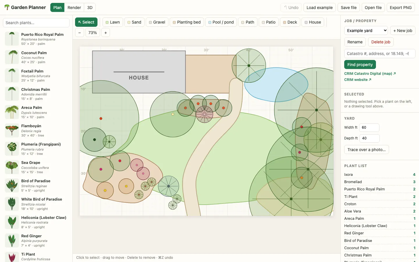
This is Garden Planner as it looks today, with the example yard loaded. Plant library on the left, tools across the top, the property and plant list on the right.
Best on a laptop or an iPad, where you can pinch to zoom and pan the plan.
A palm you plant today is a forty-foot decision. Get the spacing wrong and you find out in five years, when it's shading the pool or pushing on the house.
Garden Planner lets you see the finished garden first, on the actual shape of your lot. It's built for the tropics, with the plants people really grow here.